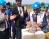
Défense de thèse de doctorat du Dr. KECHNIT DJAMEL
2024-12-14 13:46Défense de thèse de doctorat du Dr. KECHNIT DJAMEL
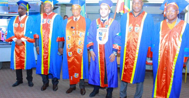
Le Lauréat de l’Ecole Régionale de l’Eau de l’ Université de Kinshasa, Dr. KECHNIT DJAMEL, de Nationalité Algérienne, a Brillamment Soutenu sa Thèse de Doctorat en Resources en Eau, Spécialisation Eau et Navigation. Mention: Plus Grande Distinction.
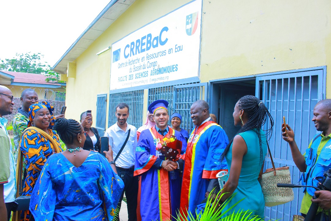
Titre thèse : An Innovative Approach Integrating Hydraulic Modelling and Remote Sensing for Improved Decision-Making of River Navigation and Water Resource Operations in the Congo Basin
Abstract
The Congo River, recognised as one of the largest rivers globally, serves as a significant waterway and a crucial transportation and trade corridor within the Congo Basin and across the African continent. Its extensive network supports regional economies by facilitating the movement of goods and services, thus providing a vital economic lifeline to numerous communities. However, the intricate hydrology and morphology of the Congo River pose significant obstacles to safe navigation, with numerous incidents underscoring the pressing need for enhanced monitoring and a deeper understanding of this complex river system. This doctoral research aims to address these multifaceted challenges through an innovative approach integrating hydraulic modelling and remote sensing to improve decision-making for river navigation and water resource operations in the Congo Basin. The primary objective is to establish a robust database that integrates satellite-derived data with limited in situ measurements, enhancing the characterization of the middle reach of the Congo River and facilitating the development of the hydraulic model. This research seeks to leverage innovative approaches that improve the availability of critical data necessary for accurately estimating key hydrological variables, such as discharge and bathymetry, thereby addressing the challenges posed by data scarcity. Furthermore, the study rigorously assesses uncertainties associated with remote sensing data and modelling outputs by comparing them with ground observation data,
ensuring the reliability of findings and the applicability of the developed models in real-world scenarios. A significant aspect of this research is the development of a two-dimensional hydraulic model of the middle reach of the Congo River Basin, for the first time, to produce detailed navigation maps. These maps significantly enhance the safety and efficiency of vessel operations. By integrating remote sensing technologies with ground-based data collection, this
research significantly enhances navigation safety and water resource management in large, ungauged river systems, where traditional measurement methods often fall short and may be logistically challenging, particularly during high flow seasons. These advancements facilitate informed decision-making for water resource operations while also addressing the high incidence of navigation-related incidents on the Congo River. Consequently, this research
equips stakeholders in riverine transportation and water management with essential tools and insights, enabling more effective navigation and resource management in the complex and dynamic conditions of the Congo River. The study employs a range of innovative methodologies, prominently featuring the development and validation of a remote sensing-based discharge monitoring model, which exhibits a remarkable error margin of less than 10%
when compared to in situ measurements. This establishes a robust framework for ongoing monitoring and assessment of large river flow, such as that of the Congo River. Furthermore, the application of an entropy-based technique for estimating bathymetry across extensive river sections—up to 6 kilometers in width—demonstrates high correlation coefficients, highlighting the method’s efficacy across diverse morphological reaches, including chenal, braided, and multithreaded reaches. This methodology also encompasses the estimation of discharge, flow velocity, and flow area over the middle reach of the Congo River, yielding mean errors of 2.7%, 1.3%, and 1%, respectively. This study represents the first successful application of this approach to estimate bathymetry and discharge in large river systems, emphasizing its significant implications for remote sensing applications. Furthermore, the two-dimensional hydraulic model developed in this research encompasses an impressive stretch of 1740 kilometers, calibrated with a root mean square error of fewer than 45 centimetres relative to in situ data, thereby underscoring the model’s reliability and its potential for practical applications in navigation. Through the generation of multiscale navigation maps, this research provides critical information that enhances navigation safety and operational efficiency, effectively addressing the intricate challenges associated with managing large river systems. The findings of this research have significant implications for enhancing navigation safety and optimizing water resource operations in the Congo Basin. By deepening the understanding of the river’s hydraulics, this study aims to mitigate the high incidence of accidents that have historically impacted this vital waterway. The integration of advanced remote sensing technologies with innovative methodologies not only advances scientific knowledge but also provides practical solutions for stakeholders involved in riverine transportation and water management. This comprehensive and interdisciplinary approach addresses immediate navigation challenges while laying the groundwork for future studies focused on sustainable river management and development in the Congo Basin. Moreover, the insights gained from this research extend beyond the local context, offering valuable applications to similar river systems worldwide.